So, what can Geographic Information Systems (GIS) do for me?

  • Go Beyond Basic Mapping

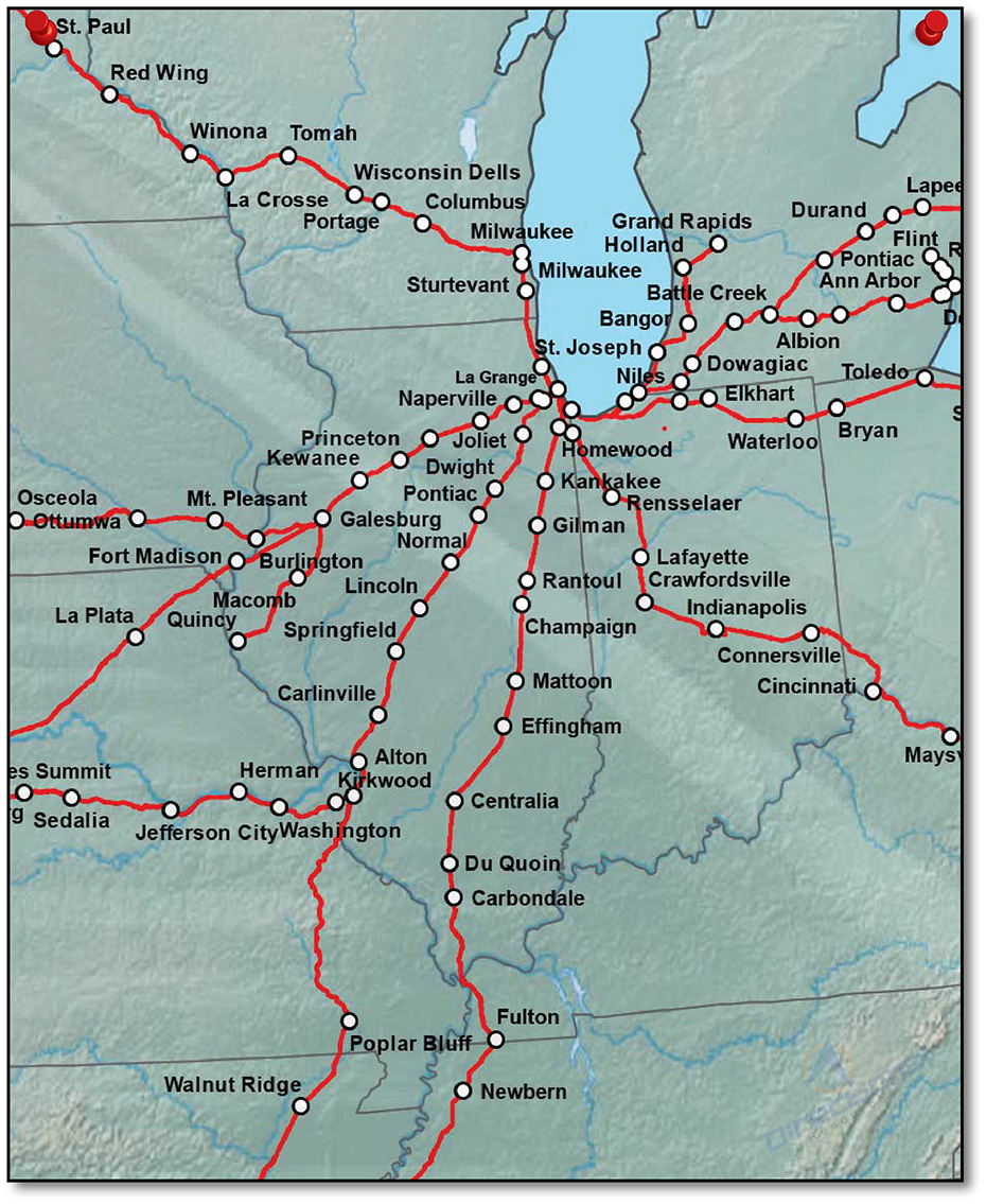
    Take your data to the next level. We utilize maps to go beyond basic mapping. Great maps coalesce and summarize data as well as provide meaningful context to their audience and beyond. We work with our clients to ensure we are providing meangiful context to make business decisions every time.
  • Collaborate With Maps

    Organizations operate efficiently when everyone is on the same page. That means the entire organization should be utilizing one version of the truth no matter what department they work. A great way to share this information is with maps.  
  • Map Driven Analysis

    Locational Data in the right hands is great at uncovering patterns and insights. Our map driven analysis enables our clients to view mapped representations of organizational data.
  • Enrich Your View

    Enrich your organizations data with more insights. We ask business critical questions on all our projects to analyze facts, competition, geographic areas and perform due diligence to provide meaningful context. We take this data and present it in a way that empowers our clients to gain insight and make business critical decisions.

Geographic Information Systems (GIS) was traditionally utilized in government and environmental management fields but has been proven itself a robust system that supports a wide variety of industries. GIS does not mean any single software, rather it represents a large stack of tools that combine spatial and non-spatial data into a robust database, analysis and presentation.

At Directional Resources our focus is to geo-enable our clients business systems. Most organizations collect and create large amounts of location based data everyday. In conjunction most organizations fail to leverage the location aspect of their data. We seek to arm our clients with the tools and methods to be as successful as possible.