Web & Mobile Services
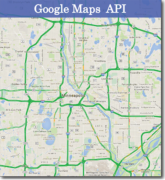
At Directional Resources we often talk to our clients about “tieing it all together.” What we mean by this is that even though your data may come from many places and in many formats this data can be “tied” together using a GIS application supported by a geospatial application stack that brings data and applications together in an intuitive and customized way using a customized web map.
Intuitive design and interactivity now have a place in the mapping paradigm and custom maps and applications can put data in a user friendly experience for subject matter experts such as planners and engineers. Imagine all of your organization’s data made available geolocated to it’s physical location on a map allowing you to explore, query and visualize your data. Imagine being able to conduct cost analysis, measure features, and view your data on top of aerial and topographic imagery. Imagine being able to to see patterns, allocate resources and always know your looking at the latest data.
Whether you already have the infrastructure or need help with hosting we can make it happen.

<iframe src=“http://www.directionalresources.com/HeatMapMN.html” width=“200” height=“200”>
</iframe>

